BENGALURU (TIP): Two days after the catastrophic floods due to cloudburst and intense rainfall in Dharali and Harsil villages in Uttarkashi district of Uttarakhand, Indian Space Research Organisation’s National Remote Sensing Centre (NRSC) shared analysis of the floods based on satellite data. Using high-resolution images of the Indian Cartosat-2S satellites, the teams drew a comparative analysis of the satellite images taken on August 7 (post the event) and cloud-free satellite images taken before the event on June 13, 2024, showing the extent and severity of the destruction. “The satellite images will help in the ongoing search and rescue operations to reach those stranded, and restore connectivity to the isolated region,” the ISRO report said, and cautioned that increasing events highlight the vulnerability of the Himalayan settlements to disasters. (ENS)
India
Govt okays Rs 25 lakh grant for memorials of national leaders
NEW DELHI (TIP): After putting a ban on converting government bungalows into memorials last year, the NDA government has now allowed a concession to trusts that want to set up a memorial for departed national […]
India
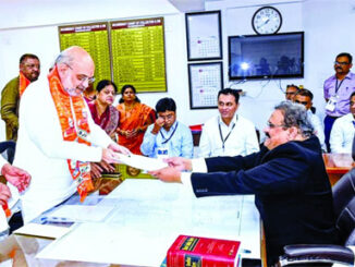
Amit Shah files nomination from Gandhinagar
Union Home Minister Amit Shah on Friday, April 19, filed his nomination for the Gandhinagar Lok Sabha seat and said the General Election was all about giving a third term to Prime Minister Narendra Modi. […]
Indian Americans
Jaipur Literature Festival arrives in USA
NEW YORK CITY (TIP): Jaipur Literature Festival, the world’s largest literary festival of its kind, will make its mark at a number of literary and art events in USA this fall. The festival has entered into a collaboration with New York […]
Be the first to comment