BENGALURU (TIP): Two days after the catastrophic floods due to cloudburst and intense rainfall in Dharali and Harsil villages in Uttarkashi district of Uttarakhand, Indian Space Research Organisation’s National Remote Sensing Centre (NRSC) shared analysis of the floods based on satellite data. Using high-resolution images of the Indian Cartosat-2S satellites, the teams drew a comparative analysis of the satellite images taken on August 7 (post the event) and cloud-free satellite images taken before the event on June 13, 2024, showing the extent and severity of the destruction. “The satellite images will help in the ongoing search and rescue operations to reach those stranded, and restore connectivity to the isolated region,” the ISRO report said, and cautioned that increasing events highlight the vulnerability of the Himalayan settlements to disasters. (ENS)
Opinions
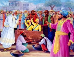
Martyrdom of Sahibzadas
The four Sahibzade Khalsa warriors princes were the sons of Guru Gobind Singh (1666–1708), the of Sikhs during the Mughal empire (1526–1857). In 1699, Guru Gobind Singh (born Gobind Rai) created the Khalsa, an elite […]
Featured
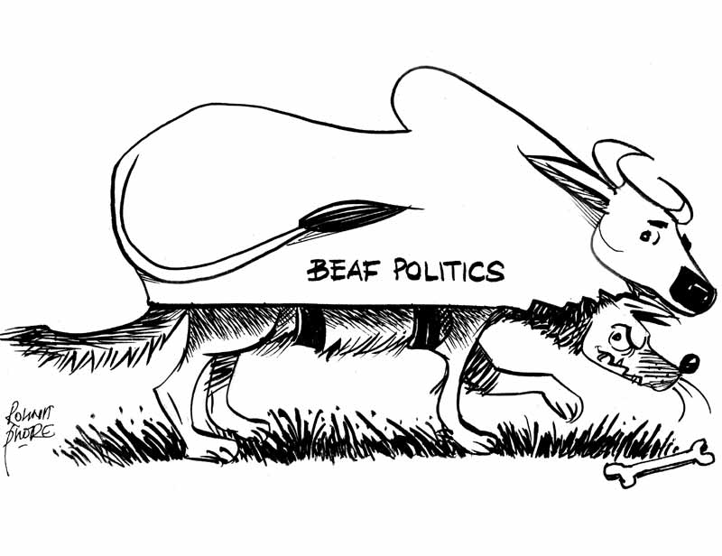
Why the Ban on Cow Slaughter is not just Anti-Farmer but Anti-Cow as well
The recent killings of Mohammad Akhlaq, Noman and Zahid Ahmad Bhatt on the claim that they were slaughtering cows is not only an attack on the right to life, livelihood and diverse food cultures but an […]

7q6ifk